
Weather and Webcams
Webcam and weather resources for North Idaho, Eastern Washington and Western Montana.
Current Weather and Forecasts:
Current Weather:
Mullan Pass Weather Station (6001 ft)Lookout Pass Weather Station (4724 ft)
Saddle Pass RAWS Northern Selkirks (5120ft)
Mt Spokane Nordic Area (4600ft)
Kootenay Pass, BC Weather Station (5840ft)
Sherman Pass Weather Station (5560ft)
SNOTEL Reports (Hourly, Last 10 days):
Regional Snow Depth Change Map (UMontana)Current SWE % of Normal Map
--
Quartz Peak, Mt Spokane State Park (4700 ft) |
Schweitzer Basin, Selkirks (6090 ft) |
Bunchgrass Meadow, WA Selkirks (5000 ft) |
Hidden Lake, (North) Selkirks (5040 ft) |
Bear Mountain, Cabinets (5400 ft) |
Lookout Pass, Bitterroots (5140 ft) |
Sunset Peak, Bitterroots (5540 ft) |
Burke Substation (Humboldt), Bitterroots (4250 ft) |
Hoodoo Basin, Bitterroots (6050 ft) |
Lost Lake, Clearwaters (6110 ft) |
Moscow Mountain, Palouse Range (4700 ft) |
Sentinel Butte, Kettle Range (4920 ft) |
Regional Snowpack Analysis (NWS):

Point Forecasts:
Lookout Pass (4769 ft)Stevens Peak/St Regis Basin (6137 ft)
Silver Mountain (5911 ft)
Schweitzer (5868 ft)
Scotchman Peak (6340 ft)
Roman Nose (6124 ft)
Lookout Mountain/Priest Lake (5594 ft)
Mt Spokane (4805 ft)
Sherman Pass (5947 ft)
Freezeout Ridge (5792 ft)
Area Forecast Discussion:
NWS Spokane, WANWS Missoula, MT
St Regis Basin Focus (NWS MSO)
NWS Spokane Weekly Weather Briefing
Avalanche Advisories:
Idaho Panhandle Avalanche CenterMissoula Avalanche Center
Kootenay Boundary Area Advisory
Flathead Avalanche Advisory
Groomer Reports:
Sandpoint AreaKootenai Co Groomer
Silver Valley Groomer
Priest Lake Area
Idaho State Groomer Map
Eastern Washington
Satellite and Radar:
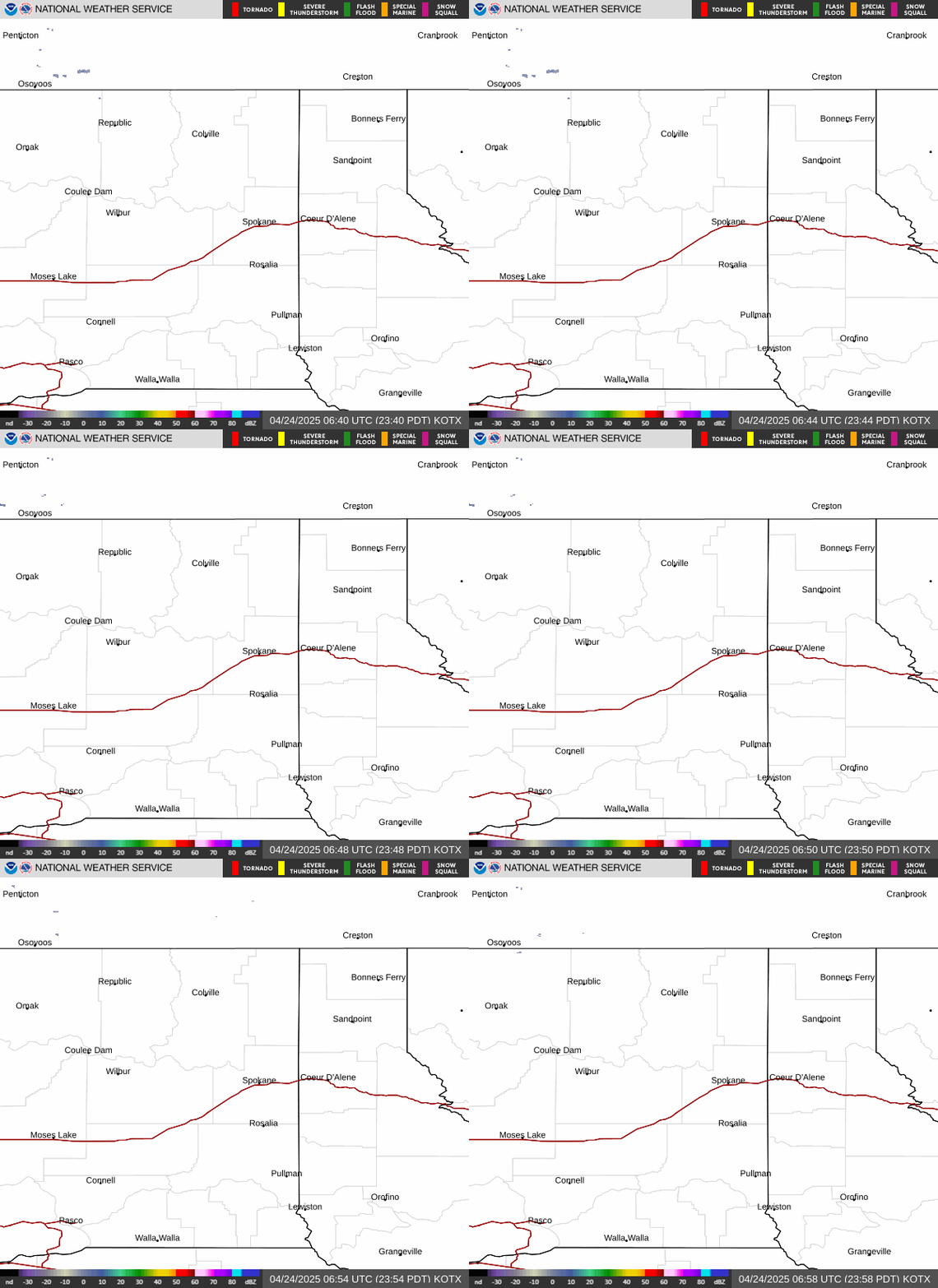
Spokane Area Local Radar
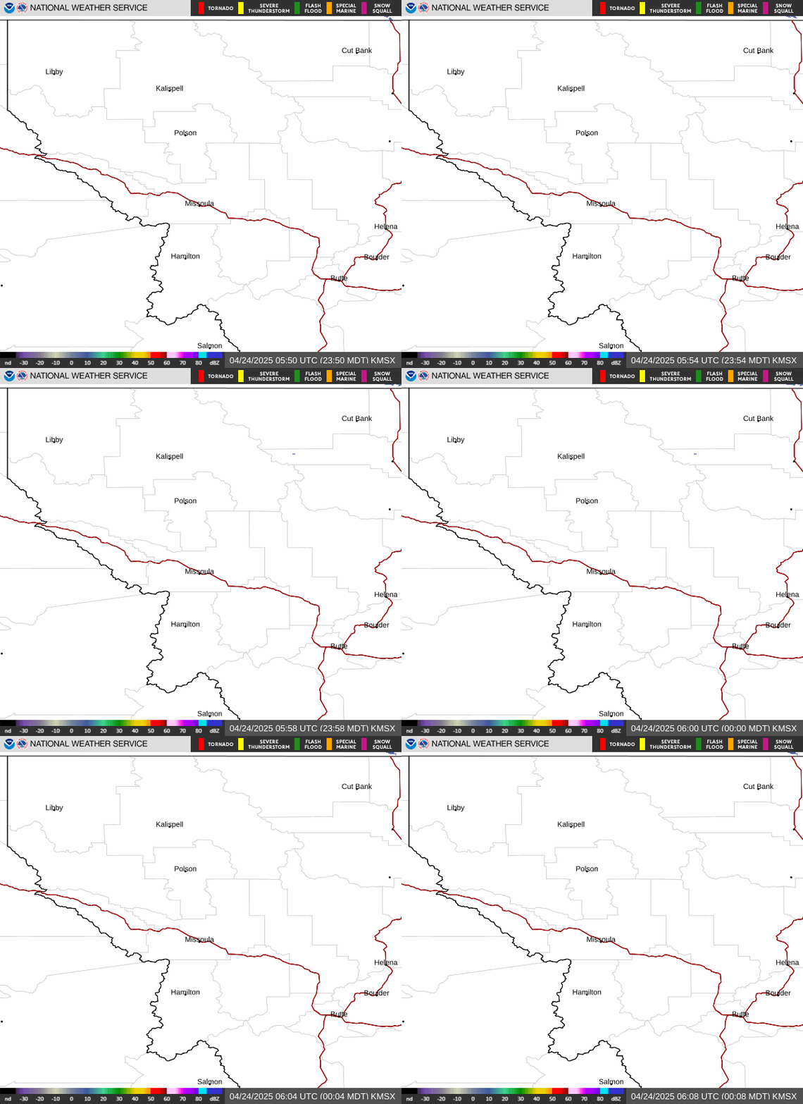
Missoula Area Local Radar
Pacific Northwest Radar Loop

Pacific Northwest GEOS-WEST GeoColor
Click to animate (4hr loop, 12.5mb)
Forecast Models:
Temperature High/Low


24 Hour Snowfall (4km resolution)

Updated twice daily after model runs at 10am/pm
Expected Snowfall Next 72hr (NWS)
Forecast Max Wind Gusts - Day 1 & 2 (NWS)


Extended Models:
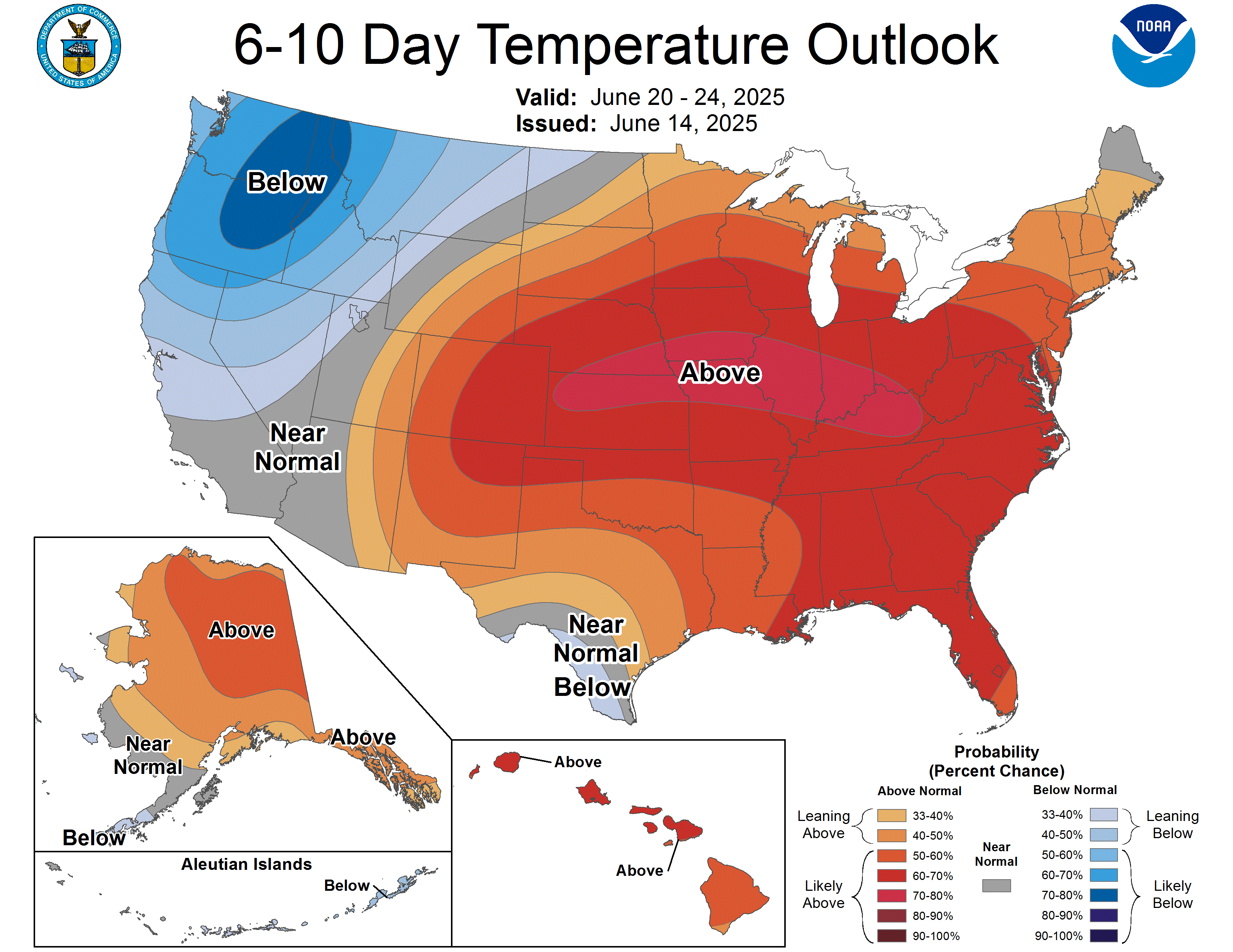
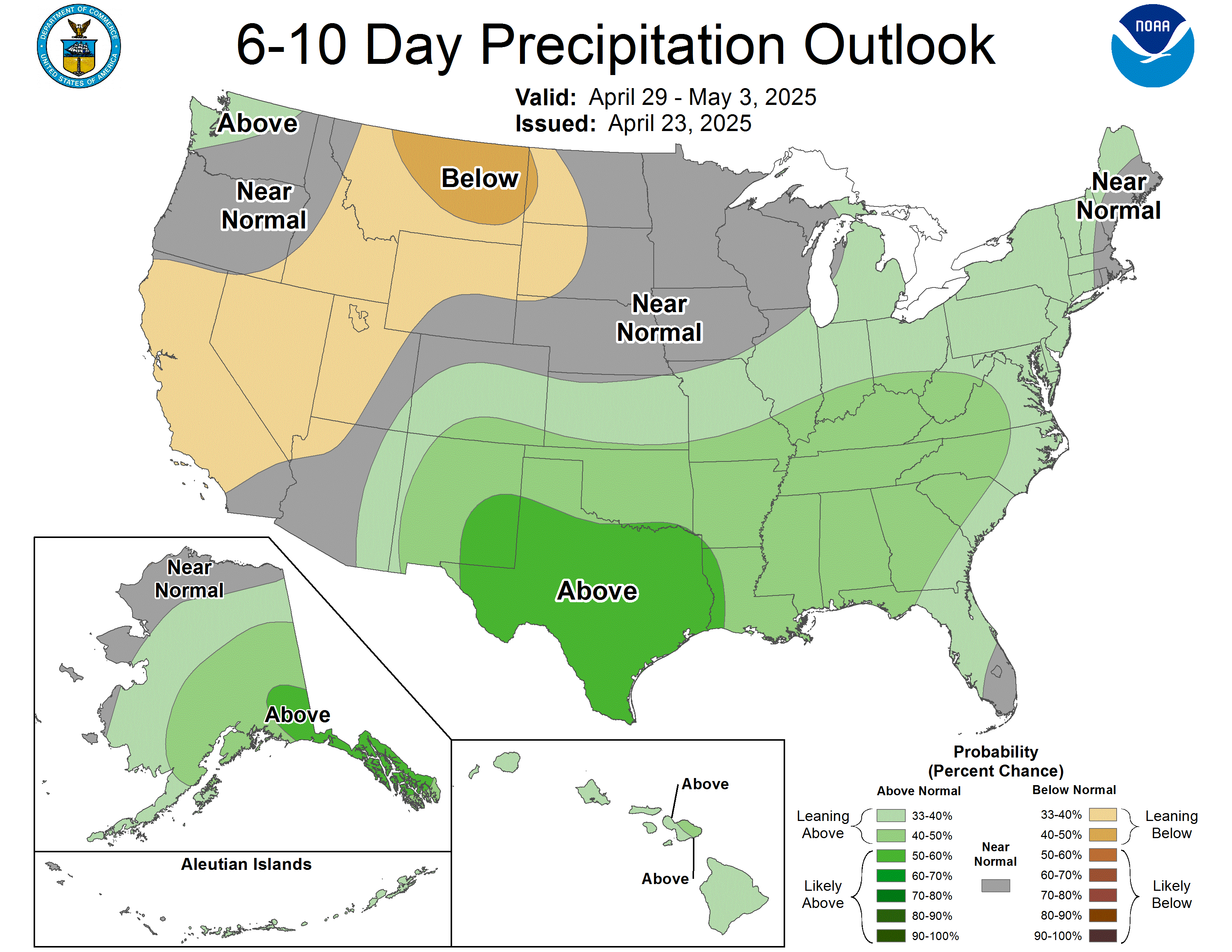
CPC 6-10 Day Outlooks:
Temperature
Precipitation
Heavy Snow Risk (Days 8-14)
Additional Satellite/Radar, Models and Maps:
Northwest Radar Mosaic (UW.edu)IR Satellite Loop (UW.edu)
Pacific Satellite w/ Fronts: latest / 24 hour loop (UW.edu)
GFS Modeled 300mb Pacific Jet Stream Animation
SNODAS - 1km Snow Depth Modeling